Archeological Survey - Southern California
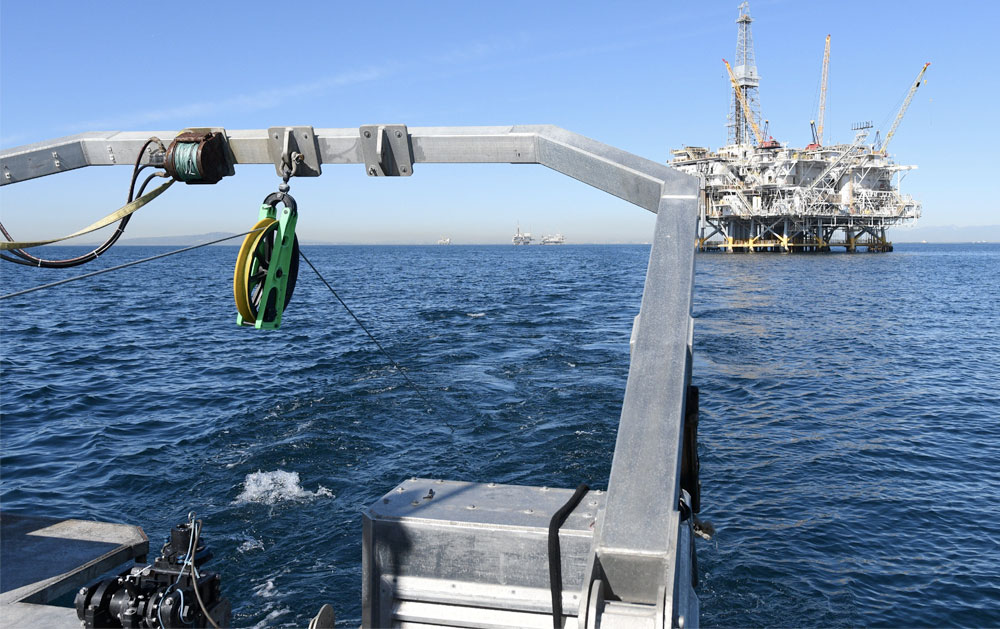
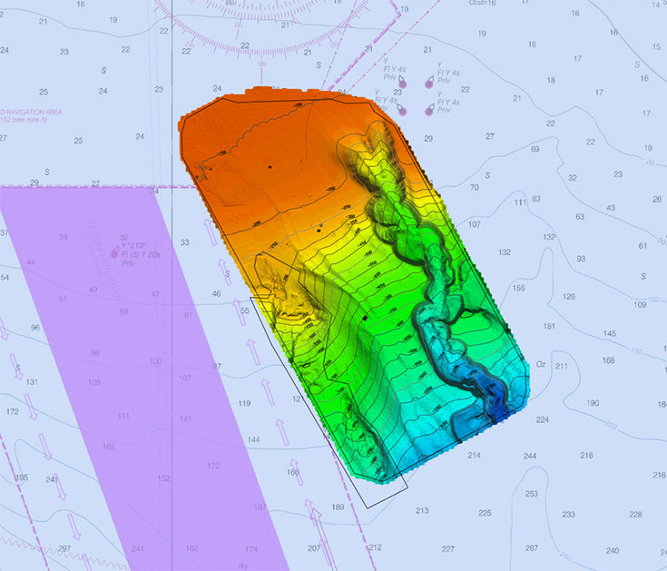
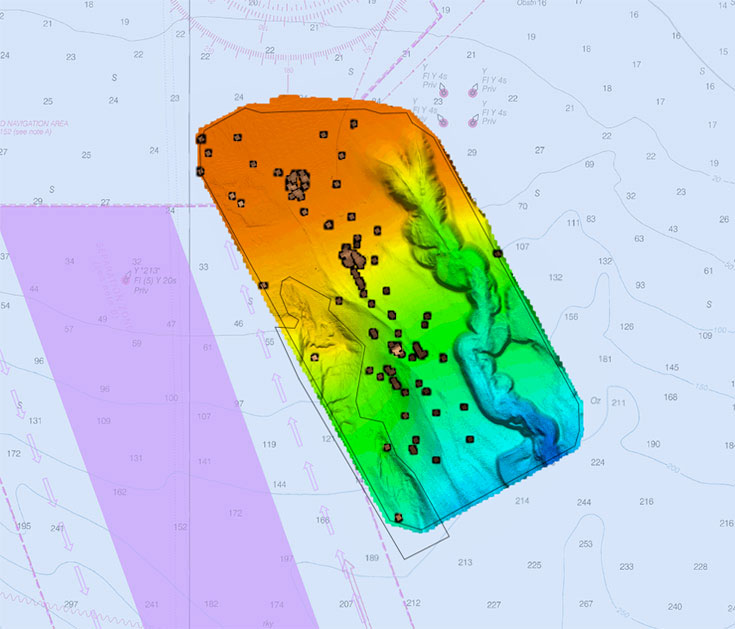
eTrac was contracted to complete an extensive Marine Archeological Survey offshore of Longbeach, in Southern California, covering an area over 10,000 acres. A full multibeam survey was first completed to acquire detailed bathymetry data across the survey area with depths ranging from 100 to 1,200ft. A dual frequency EdgeTech 4200 Sidescan sonar and Geometrics 882 magnetometer were tandem towed along 40m spaced survey lines. The systems were towed close to the seabed in order to image features 0.25m features down to the maximum depth of 1,200ft. The challenging environment included steep sloped canyons, offshore platforms and environmentally sensitive areas. The multibeam data acquired allowed preliminary analysis to be conducted on features in the area but also provided valuable undulation information to develop flight profiles for raising and lowering the towed systems and maintain a constant altitude. Snippets data acquired during the multibeam sonar survey was processed to create a backscatter mosaic and sediment classification boundaries were identified. The side-scan sonar data imaged both anthropomorphic and natural features in the area. Each feature was classified, measured, positioned and added to a database. All data met the standards required by BOEM and BSEE with data provided as GIS files for entry into larger geodatabases held by these organizations.
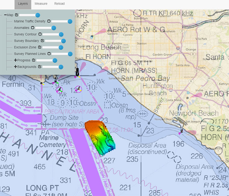
In addition, a custom web-based geodatabase was a part of the delivered products. The geodatabase included features such as the survey boundary, anomalies, contours and marine traffic density.
Photo Gallery