Morro Bay Power Plant Marine Terminal Decommissioning
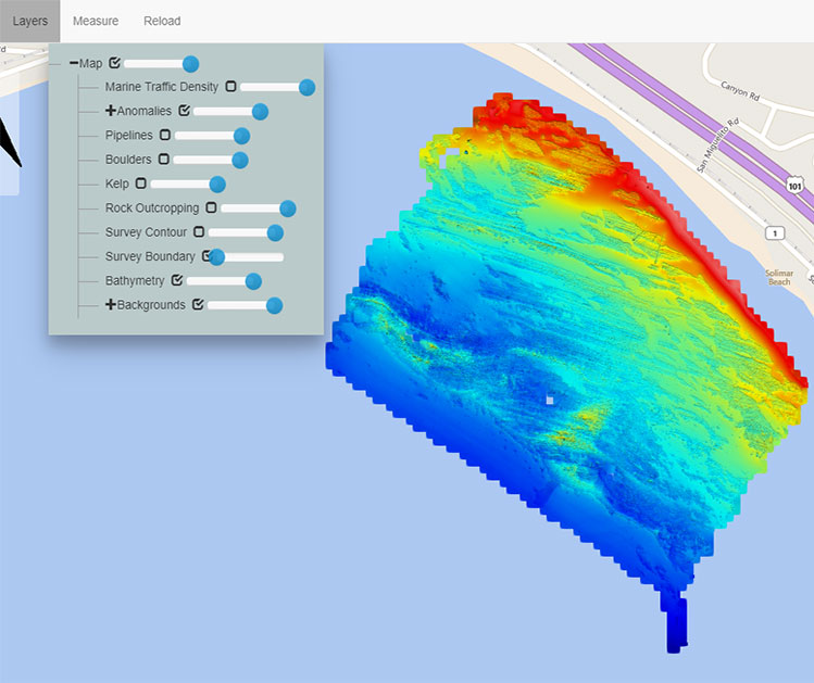
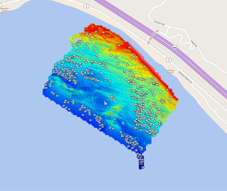
In June and October of 2018, eTrac conducted pre and post surveys for the Morro Bay Power Plant Marine Terminal Decommissioning Project. The objective of the pre-survey was to create a bathymetric grid of seabed, position and create a pipeline alignment where the pipeline was exposed, locate debris and objects on the seabed, determine the extents of rock outcroppings and determine the extents of marine vegetation; all derived from the multibeam data. The post-survey focused on object detection of any man-made features or geological artifacts created or left from the decommissioning. A comparison of rock outcroppings and marine vegetation was completed and a new bathymetric grid was derived from the post multibeam data. Obstructions non-related to the decommissioning were noted as well for the safety of marine traffic and any marine construction in the area.
A custom web-based geodatabase was a part of the delivered products. The geodatabase included features such as the pipeline alignments, boulders, kelp, rock outcroppings, bathymetry, contours and survey boundary.
Photo Gallery