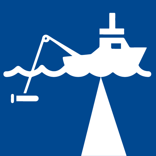
 Bathymetric Mapping
eTrac specializes in conducting high quality bathymetric mapping using multibeam and singlebeam sonars in order to meet a number of project needs. Working within both the coastal near shore and offshore environments, eTrac routinely performs bathymetric surveys for government and private sector clients across the US, and internationally. All of our gear is completely mobile and ready to ship worldwide to mobilize any vessel.
 Dredging Quality Management
eTrac, Inc specializes in marine-based system integration for EPA required Barge Tracking and United States Army Corps of Engineers Dredge Quality Management program. With clients throughout the continental US, Alaska and Hawaii, eTrac has provided cost-effective systems to allow clients to adhere to both EPA and USACE DQM specifications as well as increase production and improve project management.
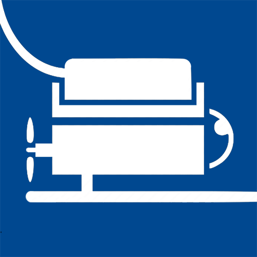
 Electronic & Automated Positioning
eTrac designs, procures, and installs a wide array of equipment to provide streamlined and precise positioning systems for land and water-based applications. Our equipment is interfaced with custom production software as well as standard and custom versions of HYPACK’s DredgePack software, with drivers based on the needs of the client and given project. In addition to dredge tracking, we use USBL beacons to track sonar equipment and dive personal while in the field.
 Emergency Response
eTrac maintains a fleet of vessels and an array of equipment in various locations throughout the US allowing for immediate response to emergency situations. Whether a natural disaster or logistical catastrophe, eTrac can arrive mobilized and on-site promptly and possibly within hours to provide any service the situation requires. We have full teams mobilized throughout the states of California, Alaska, Washington, Oregon, and Wisconsin.
 Environmental Remediation
eTrac provides survey services for a number of marine and water resource management needs including reservoir volume studies, natural gas leaks and oil spills, quarry sediment volume studies, and marine habitat mapping. With our suite of high resolution mapping equipment, eTrac is able to provide highly detailed and extremely accurate information for resource calculations.
 Geodetic Survey
eTrac is proficient at setting benchmarks and water level stations for our internal surveys or for clients. eTrac also offers topographic survey services to support coastal mapping projects, including shoreline monitoring, dune restoration and buried beach utilities such as manholes and transformers. Our datasets have high accuracy and repeatability by incorporating current GNSS survey technologies.
 Geophysical Survey
eTrac performs geophysical survey services to support a number of industry needs including pipeline installation and stabilization, hazard route surveys, and renewable energy location feasibility surveys. With the use of specialized hydrographic sensors such as subbottom profilers, magnetometers, and acoustic doppler current profilers, eTrac is able to provide detailed information of ocean and seafloor characteristics local to your marine project.
 Marine GIS
With our dedicated IT department, custom marine GIS websites are created in order to provide deliverables in a user-friendly and accessible format to our clients. During survey operations, these websites are updated daily with bathymetric and sidescan coverage so the client can track our progress throughout the survey area. Upon completion of data collection, client-requested features are updated into the custom website.
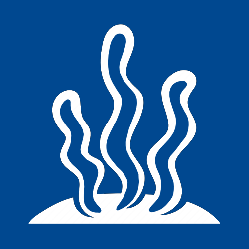 Marine Vegetation Mapping
eTrac is knowledgeable at detecting and tracking a variety of marine vegetation. eTrac ensures when data is collected over marine vegetation such as eel-grass or coral, every measure is taken in order to protect and prevent further loss of these essential marine environments.
 Object Detection
eTrac performs hydrographic search and location services for a myriad of needs. From positioning abandoned well heads to locating sunken debris, eTrac has the capability to locate most any object within coastal and offshore waters. Using efficient search patterns and high resolution sonars, eTrac has the experience and equipment to complete your target detection projects.
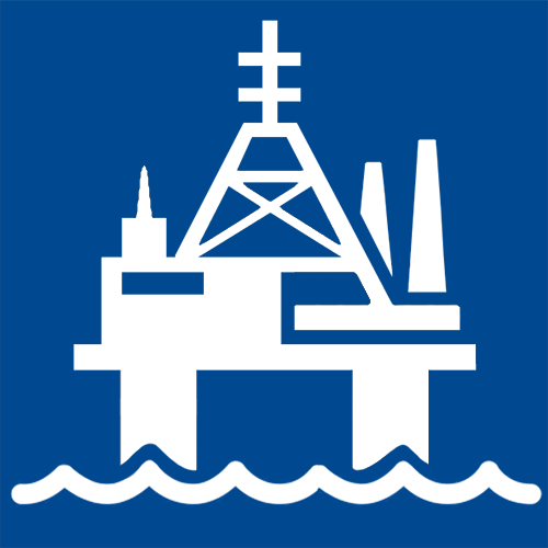 Oil & Gas
eTrac offers pipeline mapping services throughout the continental US and Alaska. Using multibeam, sidescan, and subbottom technology, we collect detailed pipeline alignment data. Our full delivery packages include detailed information of spans, inflections, and crossings, as well stabilization efforts such as concrete mats and sandbags. eTrac assists in the inspection of current pipelines, as well as proposed route surveys and decommissioning of pipelines.
 Terrestrial Lidar
eTrac provides high-resolution terrestrial lidar scanning services for a range of industry needs. Using 3D terrestrial laser scanners operating in static or mobile fashion, eTrac can provide highly detailed point clouds. These point clouds can then be analyzed, and detailed information can easily be extracted and reported. Static and mobile scanning is a great, cost effective alternative to topographic surveys; we regularly scan breakwaters for this application.