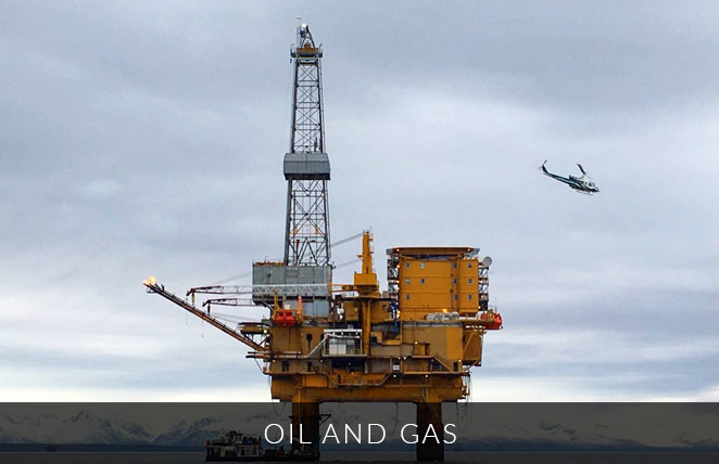
eTrac regularly provides services to oil & gas pipelines with ultra-high-density and high-resolution multibeam sonar data, sidescan, magnetometer and subbottom systems. eTrac creates highly-accurate pipeline alignments of exposed sections and can create depths and alignments for buried sections. Within a single multibeam survey the pipeline alignment, spans, inflections, crossings, objects near the alignment, sediment classification and sandbag and/or mat locations can be defined and compiled into a geodatabse. The buried alignment and depths can be defined if a subbottom system is used during the survey operations. If a survey is repeated quarterly or annually, eTrac can complete an in-depth analysis including recently completed stabilization efforts on spans, pipeline alignment movement, updated burial depths, analysis on object locations and significant sediment movement. Based on the client’s preference, deliverables include a custom feature database to identify tracked features in formats such as ARCGIS databases, custom CSVs, CAD plots and in-depth reports.
eTrac has completed pipeline decommissioning surveys as well as route planning surveys using multibeam, subbottom, and magnetometer sensors. We also provide emergency services for any possible leak or natural gas plume investigation by collecting and analyzing water column data concurrently with multibeam data.