Tyonek Route Mapping
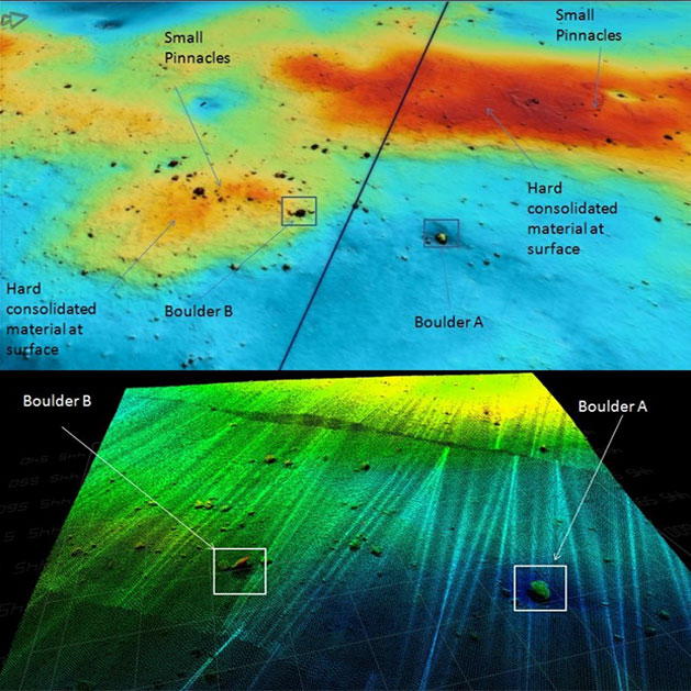
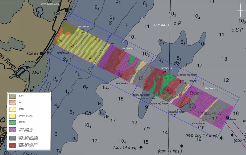
Multiple oil & gas platforms scatter the upper Cook Inlet and supply onshore facilities with oil and natural gas. A client proposed plans to install a new pipeline and contracted eTrac to survey the area and supply a proposed pipeline route between a platform and the shore. Using a combination of high-resolution multibeam sonar and CHIRP Subbottom sonar, eTrac collected data within a 2,000ft by 16,000ft corridor to help determine the best route for the pipeline free of boulders, steep grade, and obstructions. Nearly 5,000 rocks and hazards were identified within the proposed pipeline corridor, and silt movement was tracked to better understand the changing topography in the area. With the data gathered by eTrac, the client was able to plan and install the pipeline in the most effective manner.
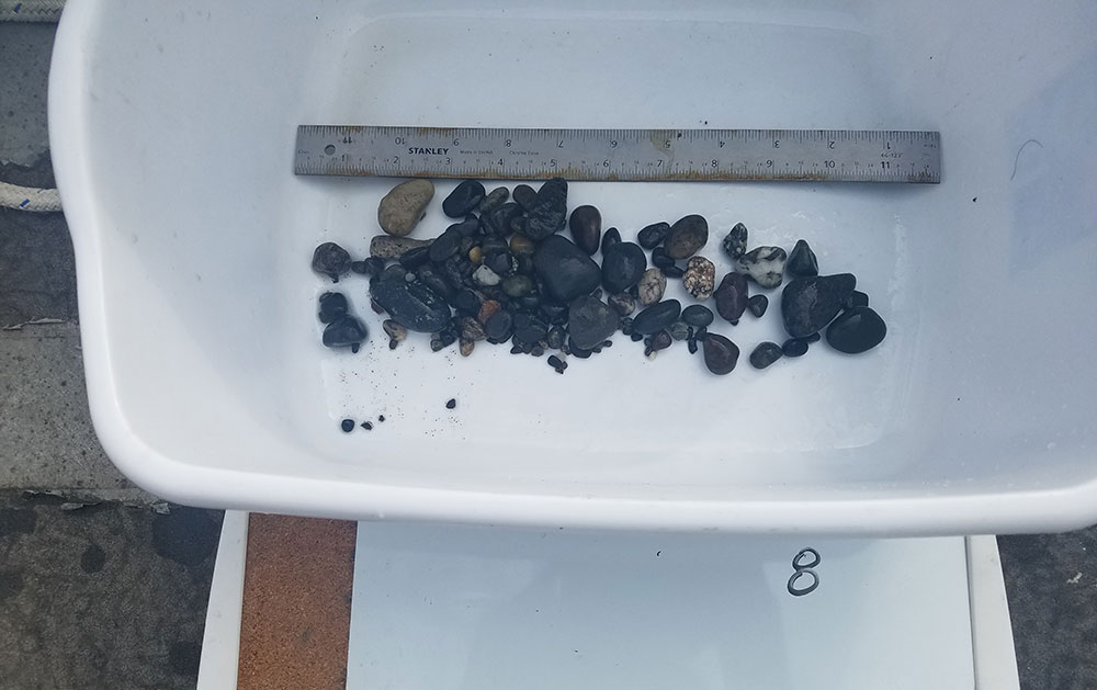
Photo Gallery