Napa River Tidal Datum Development
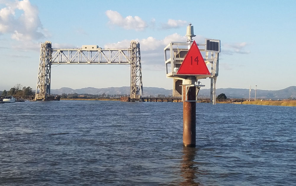
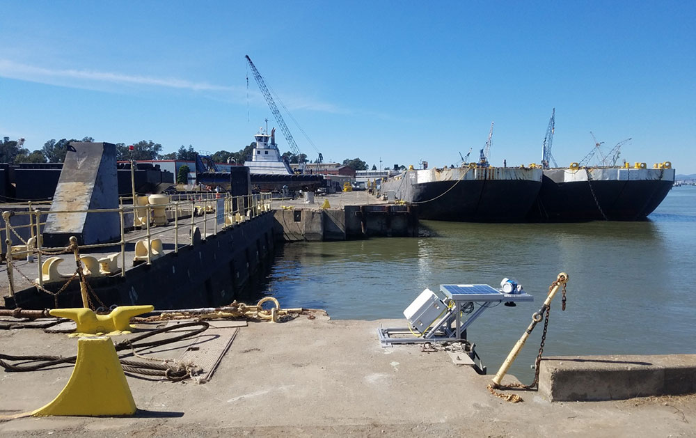
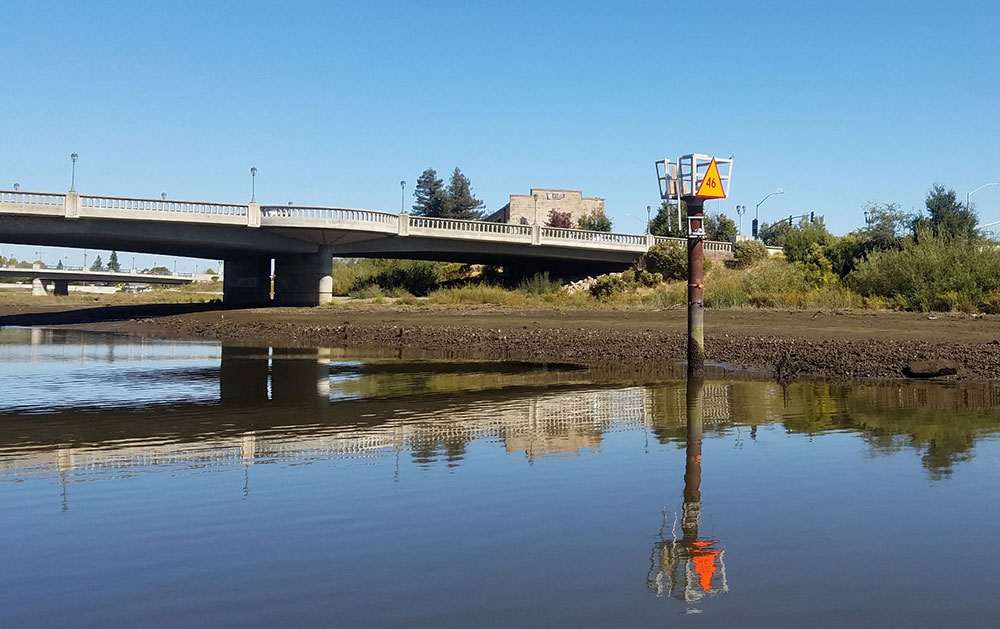
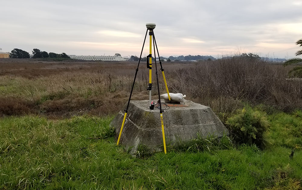
eTrac was hired as a subcontractor as part of a task order from the current San Francisco USACE 5 year IDIQ contract. Surveyors from eTrac installed and operated three water level stations that adhered to NOAA spec. These water level stations were used to compute tidal datums along the Napa River and Navigation Channel to be used for future dredging and navigation projects within the area of downtown Napa, Brazos drawbridge, and Mare Island. In-house water leveling processing and tidal datum computation software was used and three months of data was logged at each station. After the project, two out of the three water level stations were transferred to the Napa County Flood Control District for permanent ongoing use. Horizontal and Vertical control in the area was established with a partner company acting as a subcontractor as well; the company installed benchmarks, conducted static sessions ranging 30-50 miles and completed the leveling.
Photo Gallery